Comprehensive Land Use
Waverly Comprehensive Land Use Plan
The Waverly Comprehensive Land Use Plan serves as a valuable resource for anyone considering development within the city. It provides detailed information on Waverly's demographics, public facilities, land use, transportation, and housing - all essential factors in making informed planning and investment decisions.
This plan outlines a clear vision for community development through the Future Land Use Plan, which forms the foundation for the city's zoning regulations, subdivision standards, and urban renewal tools. It ensures that growth in Waverly is both strategic and sustainable, aligning with long-term community goals.
Whether you're a developer, business owner, or resident, the Comprehensive Plan offers insight into how Waverly is planning for the future - and how your project can be part of it.
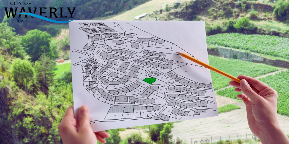
For the most current Future Land Use Map, please click here.