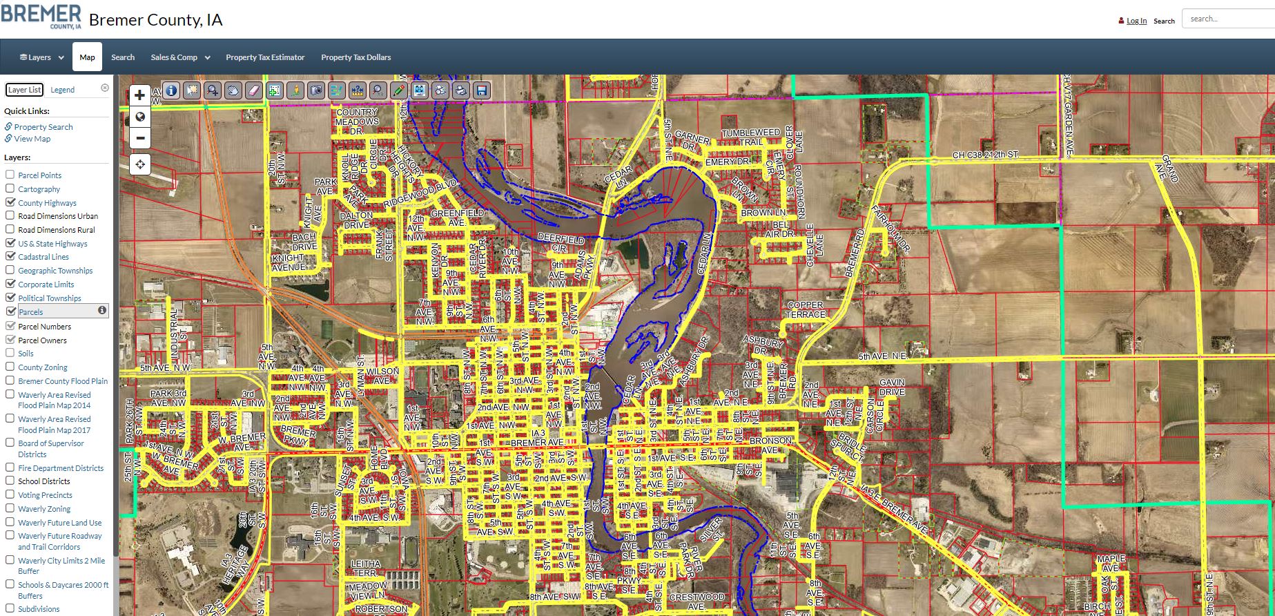
GIS Maps
The City of Waverly works with the Bremer County Geographic Information Systems (GIS) Office to provide up to date zoning district boundaries and flood plain maps in the form of layers. These maps are provided as a quick reference to assist with land use development.
The Bremer County GIS online viewer may be accessed through the Bremer County, Iowa website:
Online GIS Maps